
Dr. Horacio Ferriz is Stanislaus County’s geologist. Here is Part II of his interview with The Valley Citizen.
Valley Citizen: Could you explain “mass balance” in layman’s terms?
Dr. Ferriz: Mass balance is a fancy word to say that what comes in has to be the same as what goes out, plus/minus changes in storage. Imagine that the groundwater basin is like two stacked warehouses. Each warehouse is half full at the beginning of the summer, so there is space where new merchandise (e.g., bottled water) can be stored. The top warehouse is supplied by a local provider, who collects rainwater and bottles it, so during rainy years a lot of water is available and in dry years the supply becomes lower. Because it is a local source, the water can be sold cheap, and most people buy it as a good deal. The warehouse itself replenishes itself for just two or three months a year, and then works through its inventory for the rest of the year. For this warehouse the mass balance is:
Water in–Water out=Water in top warehouse at the beginning of summer–Water in top warehouse at the end of spring
The bottom warehouse gets its water from deep wells, so it is more expensive (and a bit salty) to produce, but its availability is not as susceptible to whether the year was rainy or dry. This source is preferred by the local agriculture because it is more reliable (even though it is more expensive). This warehouse has its own mass balance:
Water in–Water out=Water in lower warehouse at the beginning of summer–Water in lower warehouse at the end of spring
To carry this example just a step farther, a rational warehouse manager would consider filling a water order from the lower warehouse if the stores of the upper warehouse were running low.
The key difference in thinking about groundwater basins as warehouses, and not as your local convenience store, is that warehouses have standing inventory, with which sudden shortages can be addressed. Admittedly the inventory is not infinite, but with prudent management it can be made to last until water supply becomes next available. I am of the opinion that groundwater is there to be used, just as funds in an emergency savings account are there to get us out of a bind, but the funds should be used prudently to make sure they will see us out of the problem. So maybe this is not the time to start a new orchard, but that doesn’t mean that we should let the orchards that were planted 10 years ago die for lack of water.
Valley Citizen: Recently, a public official said farmers tap deeper aquifers than homeowners and thus are unlikely to affect water tables near residences. How likely is it that one can tap an aquifer without affecting the water table nearby?
Dr. Ferriz: If the aquifer is reasonably continuous and homogeneous from great depth to the surface, then the effect of deep pumping would be immediate. However, the sedimentary sequence of the Central Valley is far from being continuous and homogeneous. Rather, the sediments are layered and have different hydraulic conductivities (hydraulic conductivity is a measure of the ability a sediment has to allow the flow of water through it), which basically “isolates” the effects of pumping in one of them from the water level in another. In the specific case of eastern Stanislaus County, agricultural pumping is normally from the black sands of the Mehrten Formation, which may be found at depths of 500 to 750 feet, and which are separated from the young sediments of the Stanislaus River by layers of tight, compacted mudstone. In contrast, many rural wells are screened in the most recent sediments of the Stanislaus River, with wells as shallow as 30 ft. The water level in these shallow wells is more sensitive to decreased rainfall, lower river flows, and reduced irrigation return than they are to pumping from deep wells.
My previous comments notwithstanding, the water extracted from the deep black sands has to come from somewhere, and if the rate of pumping exceeds the rate of recharge they will eventually experience their own decrease in piezometric level (or in other words the internal pressure of the aquifer will decrease), and more electricity will have to be spent pumping the equivalent amount of water. The black sands probably recharge from the fractured bedrock on which they rest, and the rate of recharge is probably low, so it behooves the eastern Stanislaus County farmers to keep track of changes in the static level of their deep wells, and to let the County Manager of Water Resources know if a rapid drop is detected.
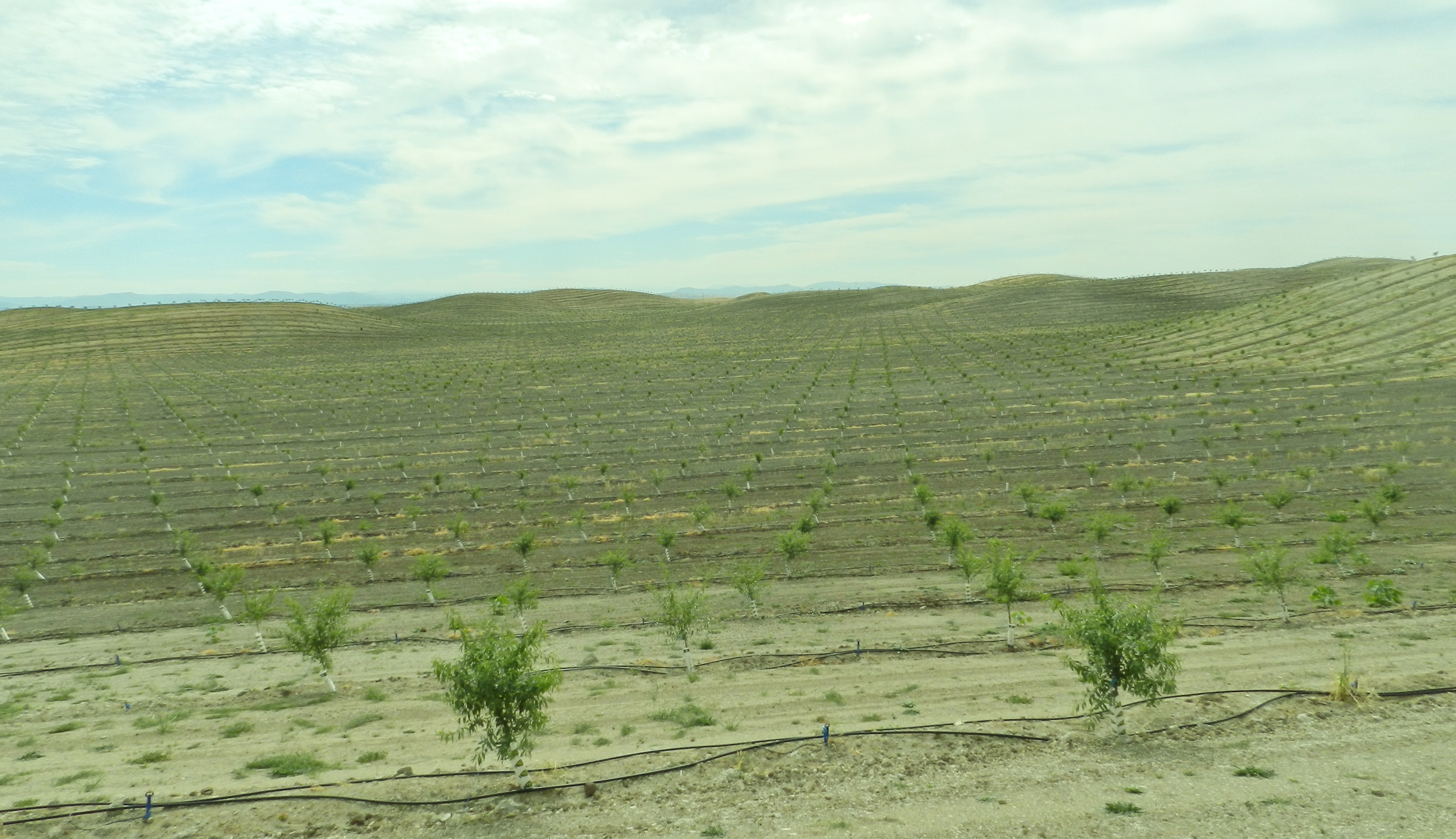
Valley Citizen: Where would the water come from those foothills orchards planted ten years ago if not groundwater? As I understand it, demand for surface water is already higher than supply. Also, to the best of our knowledge, Trinitas, with about 20% of the total orchard acreage on the east side is the only orchard with OID surface water.
Dr. Ferriz: Yes, those orchards planted 10 years ago east of the main OID canal are irrigated using groundwater, which is extracted from wells 300 to 500 deep tapping into the black sands of the Mehrten Formation. I also understand that Trinitas is being supplied with OID surface water, but I am not sure how much of the total planted acreage they own.*
Valley Citizen: Many of the trees in the eastern foothills are on rocky soil with sloped inclines. Isn’t it likely that when it rains there will be problems with sedimentation and runoff?
Dr. Ferriz: If the soil is kept bare then yes, there will be problems with erosion. The orchards I have seen have grass of even clover growing in between the rows of trees, which controls issues related with erosion and runoff. I would think that most rational farmers would follow the latter alternative rather than lose precious topsoil.
Valley Citizen: One professional said recently because of the geology in the foothills there’s no danger of subsidence from overdrafting groundwater. Do you agree?
Dr. Ferriz: Yes, I think I would agree with that statement. Subsidence is common where you have a lot of unconsolidated clay horizons in the basin, such as the Corcoran Clay under western Modesto. On eastern Stanislaus County there are claystones (also called mudstones), but they are very compact, so there is not much there that could compact to cause ground subsidence.
Valley Citizen: Thank you Dr. Ferriz. We appreciate your generous contribution to our understanding of groundwater in the foothills.
*Trinitas has 7,200 acres, ed.