Some of our readers have remarked that Dr. Kennedy’s discussions (here and here) of the hydrogeology of the northern San Joaquin Valley may be beyond the scope of the layman. Below, we discuss groundwater in the foothills in simpler terms. First, however, consider the following observations by Karen Burow, a United States Geological Survey scientist, who did a 2004 study of groundwater in the Modesto Basin:
“Water-level and pumping records indicate that as pumping in the basin has increased, flow to and from streams and rivers in the area have [sic] been affected. Water has been diverted from the rivers to recharge the semiconfined aquifer, and ground-water discharge to streams has been diverted by pumping wells. Thus, the ground-water and surface-water systems are interconnected.”
Keep Ms. Burow’s comments in mind when thinking about groundwater and its relation to surface water.
You Mean the Aquifer is a Bunch of Rocks and Dirt?
Probably the most common misconception about groundwater is that it occupies underground caverns or occurs in the form of vast lakes of pure water. In fact, available groundwater is always contained in aquifers. By definition, an aquifer is “an underground layer of permeable rock, sediment, or soil that yields water.” The Latin roots translate to “water carrier.”
In the San Joaquin Valley, common aquifer components include clay, shale, sand, silt, and gravel. Geologists and hydrologists rate the various sediments by permeability. Gravel is highly permeable because of the relatively large spaces between the rocks. Clay and silt have very low permeability. Sediments like clay that may have high porosity but low permeability are called aquitards.
Because of their low permeability, aquitards often form the upper and lower layers of confined aquifers. A confined aquifer is closed on top. It receives water from the side rather than from the top.
In the San Joaquin Valley, the major confined aquifer is formed by the Corcoran Clay layer, an almost impermeable shelf. The eastern edge runs through the center of Modesto in a north/west to south/east direction.
Water above the Corcoran Clay in Modesto is called an “unconfined aquifer.” Under Modesto, this aquifer extends downward around 200 feet to the Corcoran clay layer. Water flows into both the confined and unconfined aquifers from the east.
Drip Irrigation Does Have Drawbacks
The farmland around Modesto, especially the farmland to the north and west, is in large part composed of famously permeable soil. The soil, much of it belonging to the Hanford series, is so permeable that it is a major factor in recharge of the Modesto aquifer. According to Karen Burow, flood irrigation near Modesto is the major recharge factor:
“The largest component of recharge is from excess irrigation water (58 percent); precipitation in excess of crop requirements accounted for 41 percent of the recharge.”
The flood irrigation not only produces bountiful crops, it purges the soil of salts and recharges the aquifer. It’s a prime example of a sustainable farming practice.
In the foothills east of Modesto, farmers who’ve planted tens of thousands of acres of almond trees use drip irrigation. While it’s very precise and economical, drip irrigation does not significantly recharge the aquifer. It also allows salt to accumulate in the upper levels of the soil because of insufficient flushing.
Recently, members of the Stanislaus Water Advisory Committee have claimed that those eastern foothills have both confined and unconfined aquifers. They’ve also claimed that the aquifers are not necessarily interconnected and that some may be in isolated or contained basins.
If these claims hold true, they represent a major reversal of previous knowledge. Heretofore, professional geologists have said that the eastern aquifers are “semi-confined.” Essentially, that means vertical permeability is very slow because of the presence of silt and clay in the sedimentary rock.
Because some of the eastern aquifers contain lots of coarse sand and gravel, portions are highly permeable. However, the sand and gravel are distributed below the surface in irregular patterns. This means that for virtually the entire aquifer system, horizontal permeability is far more efficient than vertical permeability.
Groundwater: It’s About Permeability
One of two things is certain if someone in the eastern foothills has a productive well: (1) The well is in an extensive highly permeable sediment (like coarse sand or gravel) or (2) The well is in a highly permeable sediment and can tap into a reliable source of surface water.
Because vertical permeability in the foothills is very slow, rainfall is a small factor in recharge, except over the course of hundreds of years. Whether or not individual aquifers are isolated, without significant recharge factors, intensive pumping of the kind required for nuts will soon drain them.
Hydrologists can estimate the rate of depletion of an aquifer by measuring the specific yield (available water) of the sediments within the aquifer. For example, most hydrologists estimate the average specific yield of the aquifer on the east side of Stanislaus County at around fifteen percent. That means that the three feet of water required for almonds annually should lower the water table by approximately twenty feet a year. Over the twenty-five year life of an almond orchard, that’s a five-hundred foot drop.
Whether an aquifer is unconfined, confined, or semi-confined, it is best understood by asking where the water comes from. An aquifer will always have recharge points. If a productive well isn’t receiving water from above the aquifer, it’s getting it from the sides, or from one side. Absent vertical recharge, when productive wells pump tens of thousands of acre feet of water and the water table doesn’t drop as anticipated, the wells must be tapping seepage from a river, lake, or reservoir.
Is Someone Swiping Your Water?
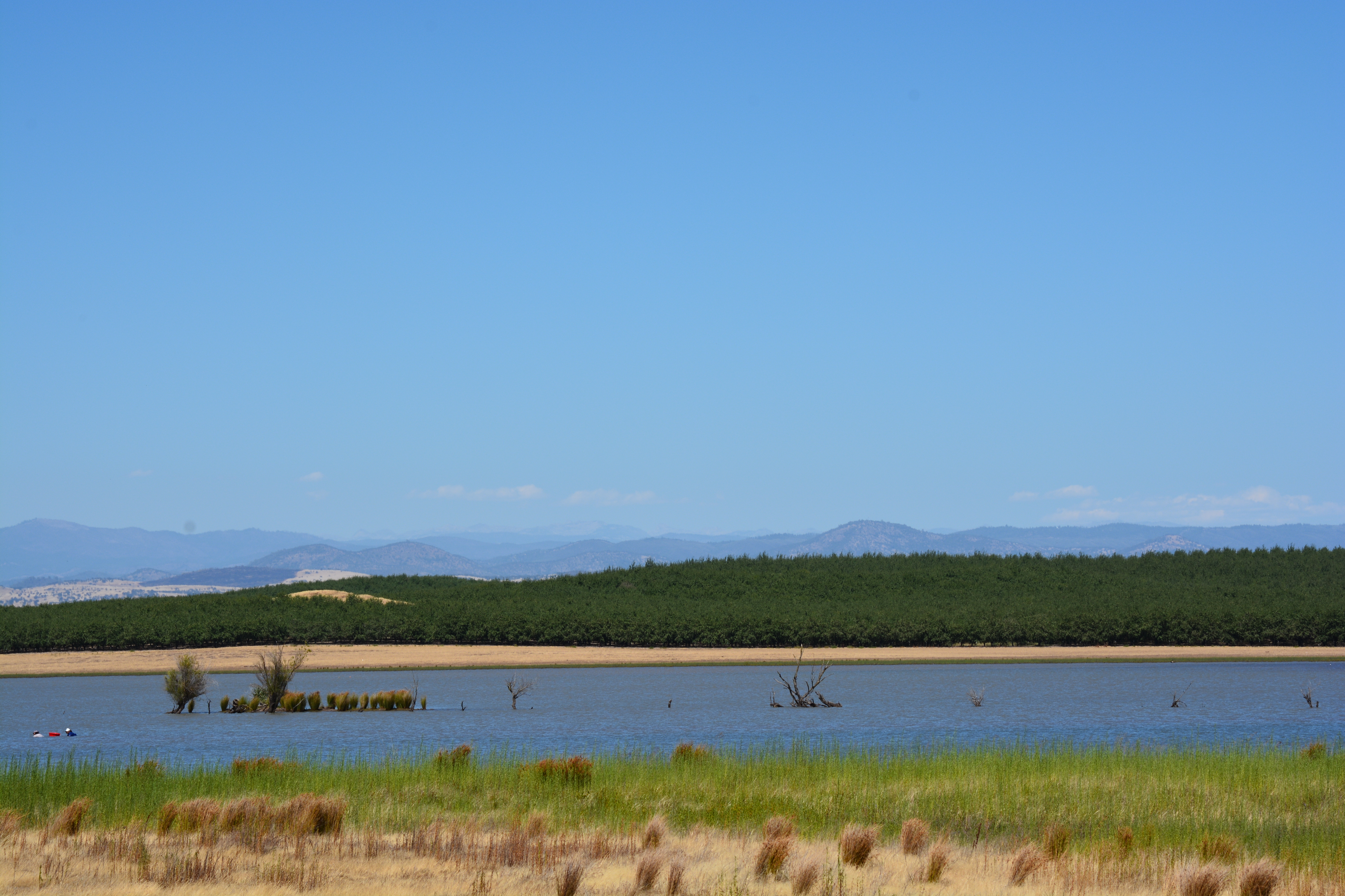
Ultimately, no matter the geological and hydrological realities, farming nuts in eastern Stanislaus County either must deplete the aquifers or it must rely on surface water—there’s simply not enough rain to recharge the aquifers. Surface water sources near orchards in eastern Stanislaus County include Woodward Reservoir, the Stanislaus River, Modesto Reservoir, the Tuolumne River, and Turlock Lake. The water in those places belongs to the public through long-established surface water rights.
Farmers on the Valley floor near Modesto farm some of the best soil in the world. They flood irrigate and help recharge the aquifer beneath them. They pay for their water. In times of drought their water allocations are reduced, often drastically. They now compete with farmers on the east side who have free water and unrestricted allocations. Not only that, it is virtually certain that a portion of that free water in the foothills belongs to the public and has been diverted from its natural course downstream.
Stanislaus County Supervisors’ reaction to mining groundwater in the foothills has been to form the Stanislaus Water Advisory Committee. The committee has spent months assuring the water miners on the east side it will do nothing without voluntary compliance from the miners themselves.
Given the opportunities, it wouldn’t be surprising if an entrepreneurial spirit in the foothills of eastern Stanislaus County were to drill a well next to a river or reservoir and then pipe the water a mile or two away. After all, Stanislaus County Supervisors and the Stanislaus Water Advisory Committee seem only too willing to countenance any action cloaked in the sacred mantle of “property rights.” And who in his right mind is going to turn down free water these days—especially when it’s worth millions.
Hello Mr. Crane,
Thank you for this well written article that does an excellent job of describing complicated hydrogeologic (aka, groundwater) principles for the lay person. It should be bookmarked by all journalists who want to write about groundwater. I would like to add that permeable units that comprise the eastside aquifers extend to some degree up the Sierran flank, beyond the groundwater basin and likely enjoy some lateral recharge flow from sources other than lakes and rivers, including from along faults and fractured metamorphic rock along their margins and base. While these groundwater flows may in many cases be minor in comparison to the recharge sources you mention, they are nevertheless equally important to consider. They are often neglected by professionals due to their sometimes more minor contributions to the groundwater supply and less well understood and quantifiable nature.
My only other comment is that you and others not use the term hydrology when speaking about groundwater. The proper term for groundwater science is hydrogeology, and it is the hydrogeologist who has the proper education and professional training to practice in the field. In California, the professional is titled a Certified Hydrogeologist and is qualified and licensed by the state after becoming a Professional Geologist, much in the same way as a Professional Engineer becomes a Geotechnical Engineer or a Structural Engineer. They are highly specialized services fields that enjoy title protection under state law. Hydrology is an engineering discipline that deals with surface water flow and the professional is called a Hydrologist. The terms are often misused (or use interchangeably) by the public and, sometimes, by practitioners will perpetuate the misconception for their own benefit.
Thank you, Jason Preece
Thank you Mr. Preece.
We welcome qualified instruction and comment. More people should be listening to the science professionals.
Comments are closed.