
The bottom line is the people should know how much water they have and where it’s going…
There’s an old adage among retailers that goes, “Whenever no one’s watching the store, there’s bound to be shrinkage.”
Watching the store has turned out to a major issue during the investigation into Modesto Irrigation District (MID) Director Larry Byrd’s alleged use of MID surface water outside MID boundaries. Given the many weeks it’s taken to investigate the problem, the one clear takeaway is that neither Director Byrd nor MID have been very proficient at inventory control. In fact, it has often appeared that neither Byrd nor MID can figure out how much water is involved or even where it’s been going.
There is much the same problem with Byrd’s riparian water use. The riparian issue would appear on its surface to involve a simple violation of riparian water law, part of which, according to the State Water Resources Control Board, is simple:
“A riparian right exists on the smallest piece of land that touches a water source. If riparian land is subdivided so that some parts of the land do not touch the water, those lands will lose their riparian rights unless steps are taken to preserve them when the subdivision takes place. Riparian rights that attach to a small parcel cannot be used on adjacent parcels, even if those parcels touch the riparian parcel. Water obtained through a riparian right must be used on the parcel connected to the riparian right.” (State Water Resources Control Board)
While the above would seem to offer a clear and compelling argument that Director Byrd’s use of riparian water on a parcel that does not touch the river is illegal, the issue becomes clouded when one determines to verify whether or not the parcel was (a) ever part of a larger land plot that had riparian rights and (b) whether that parcel retained said rights over decades of sales, inheritances, leases and repossessions. Moreover, Director Byrd has also pumped riparian water across property lines in what would seem to be yet another clear violation of California Riparian Water Law.
Beware, dear reader. Should you wish to investigate this issue, be prepared to cross a trackless desert, hack through a dense jungle, crawl on all fours through a thorny briar patch, and then fall deep into the rabbit hole. Trust me, I know.
Fortunately (or not), when I made what may have been the rash decision to investigate Director Byrd’s use of Tuolumne River water, I had the benefit of an intrepid and savvy guide, hereafter known only as The Man Who Would not be Named — WHODAT for short — when I decided to seek legal justification for Byrd’s exorbitant exploitation of Tuolumne River water..
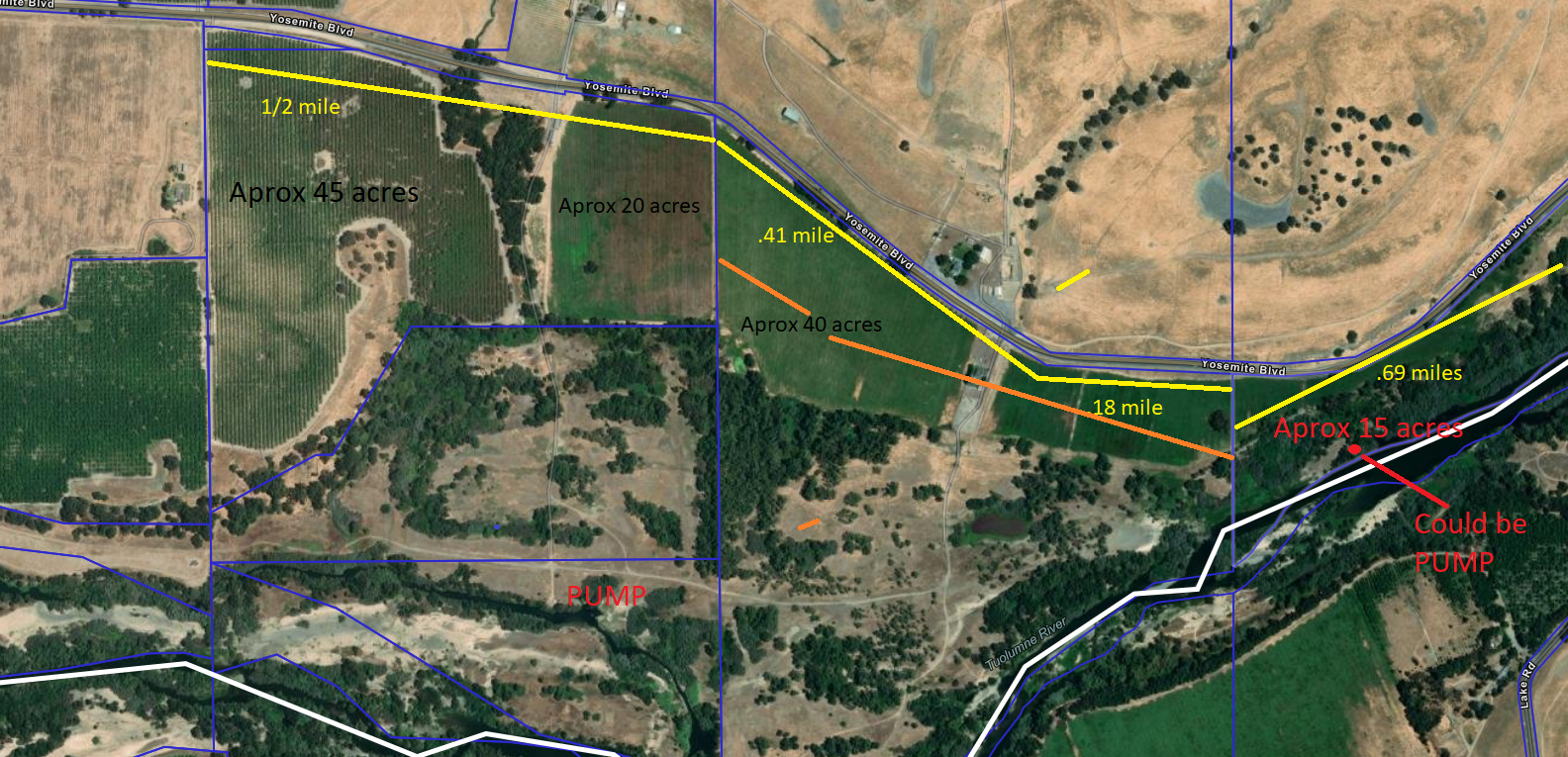
Having led me whimpering through all the above tangles and left me begging for clarity, WHODAT determined that while the portion of land Director Byrd leases a few miles west of La Grange may (or may not) have retained riparian rights through changes of ownership and parcel splits since the 1800s, those rights apply only to the original point of diversion (where the pump is) for the water. That point of diversion, hereafter known as the “Rairden pump,” is south of the parcel in question.
The issue here is whether Director Byrd has the right to transfer riparian water from another point of diversion — hereafter known as the “Rodoni pump — which is well over a mile and a half away and located on another property.
As we’ve mentioned in a previous post, Mr. Byrd’s “water rights analyst” has argued that the transfer across parcel and property lines is legal because both properties are “in the same watershed.” That claim doesn’t stand up, if only because all properties along both sides of the Tuolumne River are, “in the same watershed,” and if that were the only rule governing riparian use, there would be no need for the limits imposed by prohibitions involving parcel and property lines.
In fact, the limits are clearly necessary. Without such limits, the owner of an extensive riparian right could theoretically pump from one point of diversion to properties miles away in all directions, thus depriving downstream users of their own water rights. Although Director Byrd hasn’t gone to such a profligate extreme in this case, he has, according to his own reports, increased usage on the two properties in question by over 40% for the same stated purposes.
Moreover, he’s pumped across property lines. Ordinarily, in order to pump across property lines, the user must have an Appropriative Right, including permission to transfer from both property owners in question. We’ve been unable to locate such a right.
Nonetheless, it’s very possible Director Byrd may proffer an out here. It may be that Director Byrd, piggybacking on the “in the same watershed” argument, will claim that since the AB La Grange Ranch partnership he’s involved in has leased both properties in question (Rairden/Rodoni), the entire property is now one integrated piece, parcel and property splits be damned, and thus reverts to a pristine pre-deed and title era when the entire property had one vast riparian right anywhere along its river edges.
Though this claim may at first seem specious for any number of reasons — it’s ahistorical, it contains potential to convert the entire river to a tiny few “rights” held by a tiny few owners, it converts a public resource to a private commodity, among others — the only way to upend it would be through litigation.
And there’s the rub. Anyone familiar with riparian water law in the San Joaquin Valley knows that law has too often been litigated by robber barons, common thieves, coastal interlopers and wealthy knaves. Full of loopholes, workarounds and recondite exceptions, riparian water law enabled the San Joaquin River to run dry for a sixty-mile stretch until the Natural Resources Defense Council mounted a lengthy, expensive and ultimately successful 18-year lawsuit that brought water back to the Valley’s greatest river.
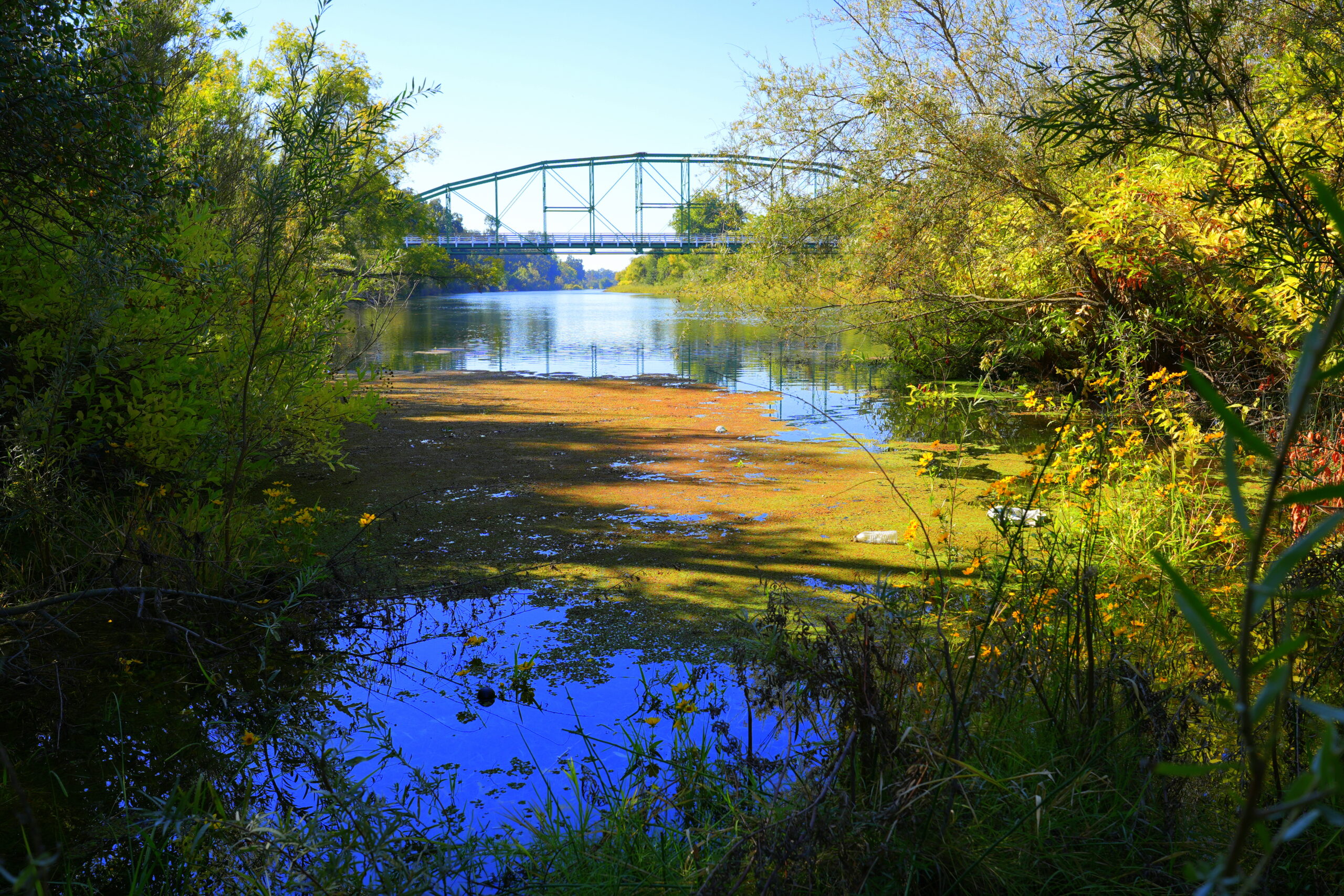
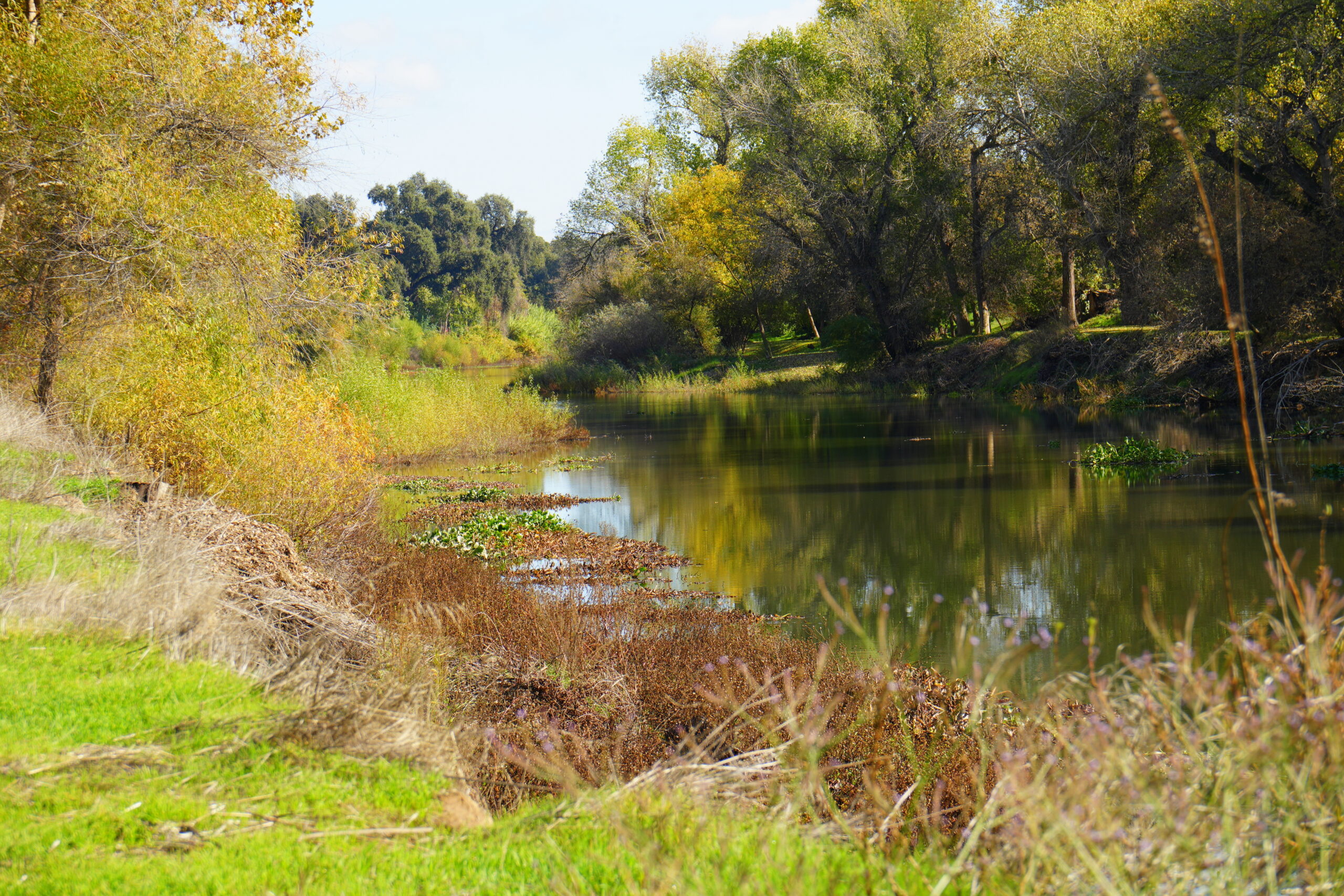
The Tuolumne is one of the most abused, controversial and treasured rivers in the American west. It is a major public asset. Now the public needs to know how often riparian rights along that great river may have been abused. As is the case with MID surface water, we need to know how much we have and where it’s going.
WHODAT, ever ready for another trek down the rabbit hole is already talking about the rule that requires riparian water users to use river water only when it’s the result of “natural flow.”
“Who’s watching the store?” says WHODAT. “How do we know when it’s a natural flow and when it’s not? How do we know when the pump is running and when it’s not?”
Good questions.
Why no investigation into the other 3 MID Board members and their (fringe parcel water use, which are partially in MID and partially outside the MID district ? There are in excess of 300 MID Fringe Parcels with No MID Fringe Policy ? Why no investigation on these 300 +- Fringe Parcels, where’s the impartiality with these political investigations ? Is the MID water department totally incapable of measuring water to their farmers, I don’t think so, their electricity bills are correct. Nothing but a lack of MID policy and politics.
Banjo
Banjo: Director Byrd is under investigation because (1) He lied for ten years about not needing groundwater, saying all his trees were in district; turns out they were not (2) There is credible testimony from two former workers that he “seldom” used the diesel pump that (theoretically) applied groundwater to those same out-of-district trees and (3) He refused to submit pumping records in support of his claims. Also, Mr. Banjo, where is your support for the claim that there are 300 “fringe parcel” users in MID?
If you are aware of other users who have lied about their trees and groundwater, or have been accused of pumping across district lines by credible testimony, please advise. Also send support for your 300 fringe parcels claim and thank you.
Banjo-According to public records MID has 0 fringe parcels. The fringe parcel argument is a hoax and used as a deflection to take attention away from the allegations that Director Byrd used MID water outside of the District. The land is either in the District or out; out of district requires signing up for the Groundwater Replenishment Program (GRP).
“Keep it up” my friend!
Terry
If MID doesn’t have a defined Fringe Parcel Policy of course nothing will come up on a public document request. Multiple MID Watermasters have confirmed the existence of 300 +- fringe parcels.
Perhaps MID Director Ott can confirm this as well as the other MID BODs ?
Why no investigation into the other 3 MID Board members and their (fringe parcel water use, which are partially in MID and partially outside the MID district ? There are in excess of 300 MID Fringe Parcels with No MID Fringe Policy ? Why no investigation on these 300 +- Fringe Parcels, where’s the impartiality with these political investigations ? Is the MID water department totally incapable of measuring water to their farmers, I don’t think so, their electricity bills are correct. Nothing but a lack of MID policy and politics.
Banjo 🪕
Banjo-You don’t need to do a public document request; the map of MID boundaries is on their website and it is clear that there are no fringe parcels. MID has a defined number of irrigated acres in the District and if the land is outside the boundaries the land is out of the district. It’s that simple! Repeat: The MID rules are simple. Every year the district sets an allocation of water to be used on acres within the district. LAFCO, a public agency, also has a map of MID boundaries. There are no fringe parcels on that map either. You are pushing propaganda to deflect attention away from the allegations of Director Byrd stealing water.
Without any MID Fringe Parcel Policy none of the 300 +- parcel owners can be convicted and hung without a trial.
There is a very simple and logical reason for MID not addressing there 300 +- Fringe Parcel Policy problems. If they do adopt a Fringe Parcel Policy a like other irrigation districts do they will have to define the Out-of-District portions of those MID Fringe Parcels and charge those farmers the same water rates as the MID GRP applicants.
And that’s the problem here, with any public policy you must be impartial when it comes to water billing and investigations irrespective of your name or political position. Additionally the MID Farmer to Farmer policy needs to be amended to prohibit Farmer to Farmer transfers for the purposes of out of the Modesto SubBasin water sales.
The MID Board of Directors needs to make some policy decisions and make a choice between keeping the MID surplus water within the Modesto SubBasin for groundwater substantiality or selling it outside the Modesto SubBasin. Happy Thanksgiving 🦃
Banjo 🪕
Comments are closed.